搜索结果: 1-15 共查到“Geological”相关记录187条 . 查询时间(0.109 秒)

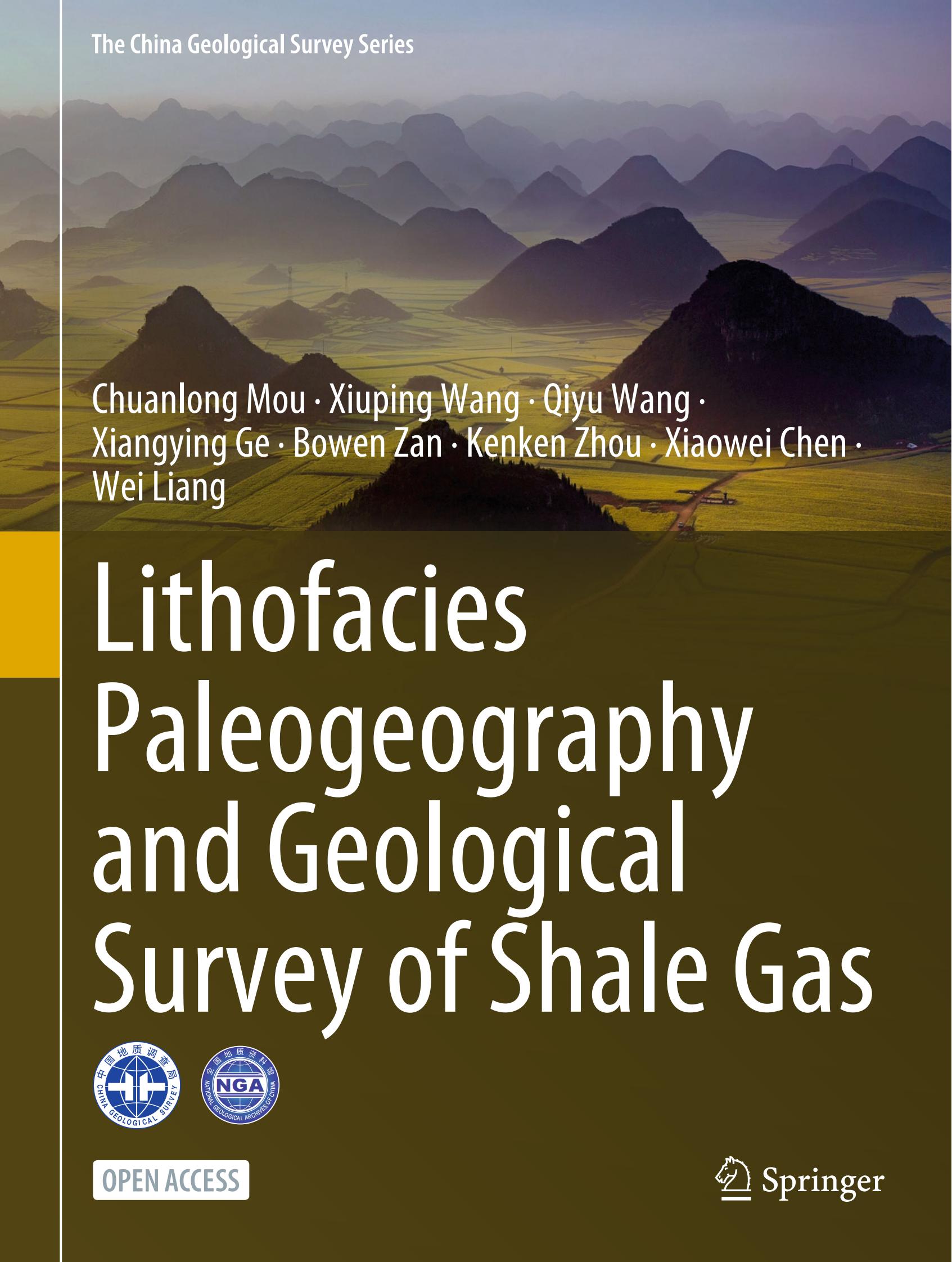
《Lithofacies Paleogeography and Geological Survey of Shale Gas》专著在Springer出版(图)
石油天然气 中国地质调查局 页岩气
2023/7/18
2022年,在中国地质调查局成都地质调查中心成立60周年之际,为进一步传承与发扬中心岩相古地理传统优势学科,凸显岩相古地理研究理论和编图方法创新性成果,突出其在支撑新一轮找矿突破战略行动中基础性、指导性、方法性等共识性认识,提升中国地质调查局成都地调中心及岩相古地理优势学科在国内外的影响力,《Lithofacies Paleogeography and Geological Survey of S...


中国地质大学(武汉)海洋学院解习农教授、杜学斌教授团队在国际著名期刊《Geological Society of America Bulletin》(美国地质学会刊)上发表论文——海平面和沉积噪声变化在南海西沙群岛生物礁发育的响应(图)
解习农 杜学斌 Geological Society of America Bulleti 美国地质学会 海平面 沉积噪声变化 南海西沙群岛 生物礁发育
2022/9/16
2022年6月2日,中国地质大学(武汉)海洋学院解习农教授、杜学斌教授团队在国际地学TOP期刊《Geological Society of America Bulletin》(美国地质学会刊)上发表论文,报道了南海西沙群岛全新世-上新世时期生物礁发育的气候背景及海平面控制因素。
INFORMATION EXTRACTION OF TOURIST GEOLOGICAL RESOURCES BASED ON 3D VISUALIZATION REMOTE SENSING IMAGE
Remote sensing image 3D visualization Tourism geological resources Information Extraction Investigation
2018/5/15
Tourism geological resources are of high value in admiration, scientific research and universal education, which need to be protected and rationally utilized. In the past, most of the remote sensing i...
STUDY ON THE DISTRIBUTION OF GEOLOGICAL HAZARDS BASED ON FRACTAL CHARACTERISTICS – A CASE STUDY OF DACHUAN DISTRICT
Geologic Hazard Fractal Theory Fractal Dimension Self Correlation Risk Zoning
2018/5/15
It is a complicated process to analyze the cause of geological hazard. Through the analysis function of GIS software, 250 landslides were randomly selected from 395 landslide hazards in the study area...
POTENTIAL GEOLOGICAL SIGNIFICATIONS OF CRISIUM BASIN REVEALED BY CE-2 CELMS DATA
Mare Crisium Microwave thermal emission Geological significance CELMS data Cold anomaly Basaltic volcanism
2018/5/15
Mare Crisium is one of the most prominent multi-ring basins on the nearside of the Moon. In this study, the regolith thermophysical features of Mare Crisium are studied with the CELMS data from CE-2 s...
TYPICAL APPLICATIONS OF AIRBORNE LIDAR TECHNOLAGY IN GEOLOGICAL INVESTIGATION
airborne light detection and ranging (LiDAR) surface subsidence landslide fault
2018/5/17
The technology of airborne light detection and ranging (LiDAR), also referred to as Airborne Laser Scanning, is widely used for high-resolution topographic data acquisition (even under forest cover) w...
2018年第5届地质和土木工程国际会议(2018 5th International Conference on Geological and Civil Engineering)
2018年 第5届 地质 土木工程 国际会议
2018/1/8
The aim objective of the 2018 5th International Conference on Geological and Civil Engineering (ICGCE 2018) is to provide a platform for researchers, engineers, academicians as well as industrial prof...
中国地质大学科学技术发展院袁悦锋(博士生),朱培民地空学院 Geophysical Research Letters,16 July 2017. The 3-D Geological Model around the Chang'E-3 Landing Site based on lunar penetrating radar Channel 1 data
三维;探月;雷达;科学;仪器
2021/10/21
2017年7月,中国地质大学地空学院博士研究生袁悦锋与其导师朱培民教授等人于地球物理学领域国际著名期刊《Geophysical Research Letters》上发表了论文“The 3-D Geological Model around the Chang'E-3 Landing Site based on lunar penetrating radar Channel 1 data”。该文章通...

Old Faithful is Yellowstone National Park’s most famous landmark. Millions of visitors come to the park every year to see the geyser erupt every 44-125 minutes. But despite Old Faithful’s fame, relati...
Evaluation of groundwater potential and eco-geological environment quality in Sanjiang Plain of Heilongjiang Province
Sanjiang Plain Groundwater resources potential Eco-geological environment evaluation
2018/3/23
Sanjiang Plain of Heilongjiang Province has become an important commodity grain base in our country after the construction of more than a century. Groundwater is the main water source for industrial a...
美洲地质学会南部分会第51次会议(Geological Society of America South Central Section Meeting)
美洲地质学会南部分会 第51次 会议
2017/1/20
We look forward to presentations and posters that highlight many aspects of the geosciences.Presentations and posters to honor people whose research resulted in significant advances are especially wel...
CONTRIBUTION OF SATELLITE ALTIMETRY DATA IN GEOLOGICAL STRUCTURE RESEARCH IN THE SOUTH CHINA SEA
South China Sea satellite altimeter data marine gravity data fault system seafloor spreading axis oceanic crust
2016/12/1
The study area is bordered on the East China Sea, the Philippine Sea, and the Australian-Indo plate in the Northeast, in the East and in the South, respectively. It is a large area with the diversely ...
GEOLOGICAL MAPPING USING MACHINE LEARNING ALGORITHMS
Geology Geological Mapping MLA Random Forest Spectral Imagery Rocks
2016/11/30
Remotely sensed spectral imagery, geophysical (magnetic and gravity), and geodetic (elevation) data are useful in a variety of Earth science applications such as environmental monitoring and mineral e...
GEOLOGICAL MAPPING BY COMBINING SPECTRAL UNMIXING AND CLUSTER ANALYSIS FOR HYPERSPECTRAL DATA
Geology Mineral Unmixing Cluster Analysis Hyperspectral Cuprite
2016/11/30
Spectral unmixing of hyperspectral data often fails to select some minerals and rocks having flat spectra but no diagnostic absorption features as endmembers, even if they are actually important endme...


