
�������: 1-15 ���鵽������ѧ���� Transportation����ؼ�¼18�� . ��ѯʱ��(0.132 ��)
Ayman F.Habib��������Mobile Mapping Systems for Accurate Documentation of Transportation Corridors�����棨ͼ��
Ayman F.Habib���� ��ľ����ѧ ������Ӱ���� ������Ӱ������ң��ѧ��
2022/8/29
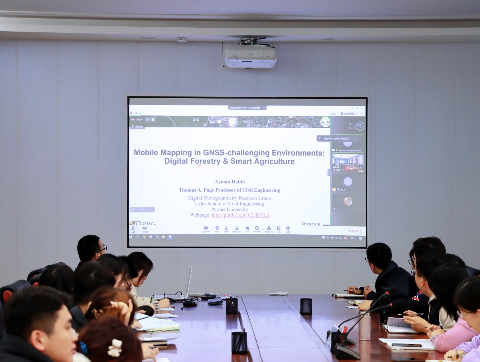
2021��12��23�����磬�ɲ����ռ���ϢѧԺ����ĵ�11���ǡ��桱�����ڵ�һ�����ҳɹ��ٰ졣�����ǡ��桱�������뵽������Ӱ������ң��ѧ�ᣨASPRS���ͼ��ô����ռ���Ϣѧ�ᣨCIG����Ա�������նɴ�ѧ��ľ����ѧԺ���ڡ�������Ӱ�����������鳤����ϯ��ѧ��Ayman F. Habib����������Ϊ��Mobile Mapping Systems for Accurate Documentation ...
REMOTE SENSING MONITORING OF THE DYNAMIC CHANGES OF VEGETATION COVERAGE AND ITS TYPES BEFORE AND AFTER THE EMERGENT WATER TRANSPORTATION TO THE LOWER REACHES OF THE TARIM RIVER
Environmental Monitoring Spatial-temporal Analysis Spatial database Remote Sensing Vegetation Coverage Vegetation Type Tarim River
2015/12/31
Two factors of the vegetation coverage and its types sensible to the ecological changes before and after the Emergent Water Transportation Project are investigated based on three periods of the multi-...
Using a Web-Based GIS for Environmental Management of a Crucial Winter Transportation Route in Northern Canada
Transportation Planning Northern Canada Ice Roads Environmental Management Systems
2015/12/17
A seasonal snow and ice road �C the Tibbitt to Contwoyto Winter Road (TCWR) �C is constructed each winter to provide a reliable transportation route to and from the operating diamond mines and various o...
The Design and Implementation of Ontology and Rules Based Knowledge Base for Transportation
ontology rule knowledge base reasoning spatial relations three-dimension transportation
2015/12/2
The traditional transportation information inquiry mainly uses key words based on the text, and the service the inquiry system provided is onefold and only aims at one transporting means. In addition,...
Exploring Space and Time:The Interaction of Transportation and Environment
Dynamic Multitemporal Pollution Environment conceptual data model
2015/12/1
The aim of the study is to explore multi-temporal dimension of interaction between transport, land use and air quality, where the interaction is dynamic and involves changes over spatial and temporal ...
USING SPATIAL DATA MINING TECHNIQUES TO REVEAL VULNERABILITY OF PEOPLE AND PLACES DUE TO OIL TRANSPORTATION AND ACCIDENTS: A CASE STUDY OF ISTANBUL STRAIT
Spatial Analysis Spatial Statistics Spatial Data Mining Vulnerability Spatial Data Warehousing
2015/8/31
Public and private organizations have legacy or operational spatial databases or non-spatial databases, which are also somehow
linked to a spatial database or a spatial meaning. In addition to missi...
Global Positioning System, a worldwide satellite navigational
system formed by 24 satellites orbiting the earth and their
corresponding receivers on the earth which provides practical
and affordabl...
USES OF HIGH-RESOLUTION IMAGERY FOR URBAN TRANSPORTATION APPLICATIONS: QUANTITATIVE INDICES EXTRACTION APPROACHES
Extraction High resolution GIS Indicators Urban
2015/7/30
Recently, new approaches with commercial high-resolution satellite imagery in the engineering application domains have been
attempted. Among them, uses of remotely sensed imagery linked with GIS-T (...
REMOTE SENSING AND TRANSPORTATION SECURITY
Traffic lifeline elements terrorist attacks the transportation network remote sensing
2015/5/13
Transportation lifelines are a vital element in maintaining U.S. security from terrorist attack. They are also
vulnerable to attack and disruption. As officials have discovered since September 11, 2...
ANALYSIS OF REMOTELY SENSED DATA FOR PLANNING TRANSPORTATION NETWORKS
Remote sensing hyperspectral data rapid urbanization large scale land cover system
2015/5/13
Analysis of remotely-sensed and hyperspectral data has significant potential application in the areas of planning of,
and better decision support for, transportation networks. With increased demand ...
DIGITAL DATA LIBRARIES OF GEOSPATIAL DATA AND INFORMATION PRODUCTS FOR TRANSPORTATION ASSESSMENT AND PLANNING
Transportation geographical spatial database remote sensing data and geographic space data transport assessment and management of geographical spatial data resources
2015/5/13
Transportation agency representatives provided case-study input in an investigation of how geospatial data libraries
are used for managing remote sensing data and other geospatial data for transport...
REMOTE SENSING FOR AIRPORT DEVELOPMENT AND TRANSPORTATION PLANNING
Airport planning infrastructure construction urban planning remote sensing data the program
2015/5/13
This paper describes the need to share information between airport planners and managers and their
counterparts at other agencies as a means to facilitate infrastructure development and urban planni...
ASSESSING THE ROLE OF REMOTE SENSING INFORMATION FOR STREAMLINING ENVIRONMENTAL ASSESSMENT IN TRANSPORTATION
The ministry of communications to remote sensing environmental assessment environmental protection environmental assessment environmental impact statements
2015/5/13
The U.S. Department of Transportation seeks to determine if remote sensing can contribute to streamlining the
environmental assessment process. Environmental protection is accomplished through Envir...
REMOTE SENSING AND SPATIAL INFORMATION FOR TRANSPORTATION DEMAND MANAGEMENT (TDM) ASSESSMENT
Remote sensing technology spatial information aerial image image interpretation remote sensing images
2015/5/13
This paper reports on four applications of remote sensing technology and spatial information and analysis for the
assessment of TDM projects involving transit operations. The projects all aerial ima...
SATELLITE REMOTE SENSING AND TRANSPORTATION LIFELINES: SAFETY AND RISK ANALYSIS ALONG RURAL SOUTHWEST ROADS
High resolution remote sensing satellite the earth observation transportation network Photoelectric data
2015/5/13
The availability of high resolution commercial remote sensing has contributed to a revolution in the application
of satellite Earth Observation (EO) methods to the analysis of transportation network...
�й��о����������а�-��
- ���ڼ���...
�й�ѧ���ڿ����а�-��
- ���ڼ���...
�����ѧ���л������а�-��
- ���ڼ���...
�й���ѧ���а�-��
- ���ڼ���...
�ˡ���-ƪ
- ���ڼ���...
�Ρ���-ƪ
- ���ڼ���...
��������-ƪ
- ���ڼ���...
�������� -ƪ
- ���ڼ���...
֪ʶҪ��-ƪ
- ���ڼ���...
���ʶ�̬-ƪ
- ���ڼ���...
��������-ƪ
- ���ڼ���...
ѧ��ָ��-ƪ
- ���ڼ���...
ѧ��վ��-ƪ
- ���ڼ���...